

At a glance
- Where
- South of 130th Street (FM 1585), between Quaker and Indiana Avenues1
- ZIP code
- 794232
- Homes built
- 2013 on2
- Homes
- About 800 residential lots in four sections2
- Park
- More than 80 acres, with over a mile of walking trails1
- School district
- Lubbock-Cooper ISD3
- HOA
- $550 a year (2026)4
- Property tax (2025)
- About $2.07 per $100 before exemptions5
The neighborhood
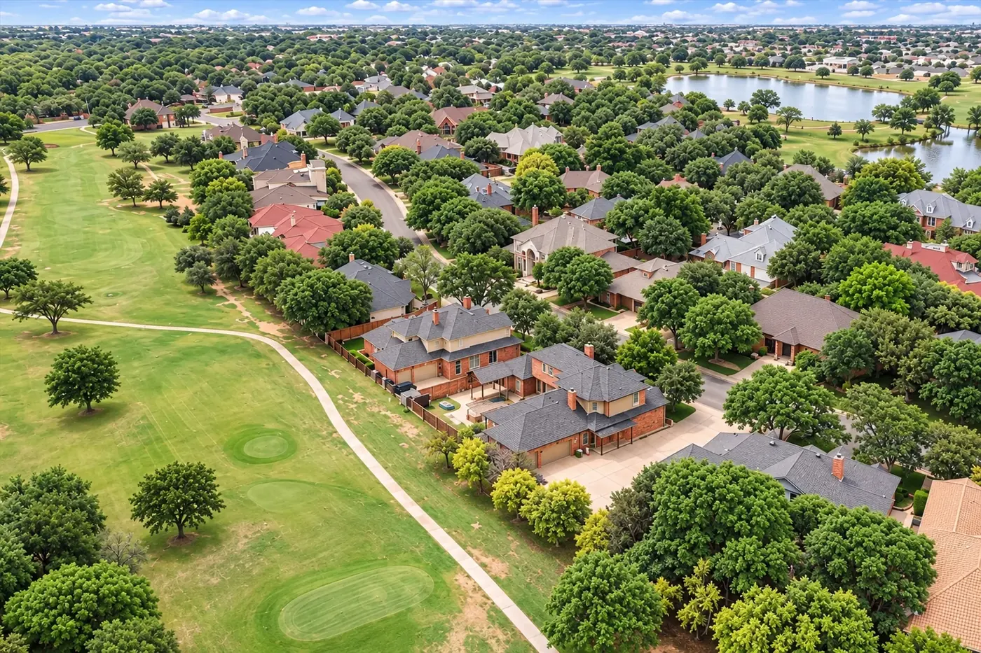
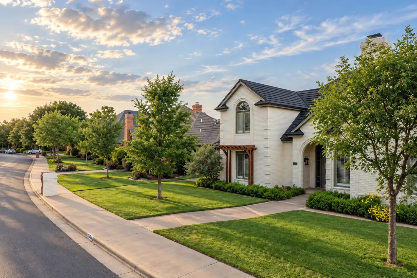
Kelsey Park is in south Lubbock, inside the city limits, south of 130th Street (FM 1585) between Quaker Avenue and Indiana Avenue. It was developed by Ford Development around a large central park, with homes built from 2013, and it now has about 800 residential lots.
It is recorded in four sections, which matters when you search listings: Kelsey Park, Enclave at Kelsey Park, Estates of Kelsey Park and Eastwick at Kelsey Park.
Homes and lots
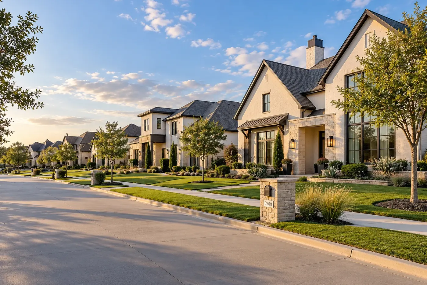
Each section has its own scale. Most lots in Kelsey Park, the Enclave and Eastwick are around 8,600 to 9,700 square feet, while lots in the Estates are around half an acre. Homes in the original section date from 2013, the Enclave from 2015, the Estates from 2016 and Eastwick from 2019, and typical home sizes run from about 2,400 square feet in Eastwick to about 3,700 in the Estates.
The developer describes homes here from about $300,000 to more than $1 million.
The park
Kelsey Vines Memorial Park is the center of the neighborhood: more than 80 professionally landscaped acres, with mature trees, open lawns and over a mile of walking trails.
The homeowners association
Kelsey Park Homeowners Association is managed by Hawkize Management. Dues are $550 a year for 2026. When a home sells, there is a $375 transfer fee and a $500 capital contribution.
School district
Kelsey Park is in Lubbock-Cooper ISD, and Central Elementary is inside the neighborhood. By the district’s zone maps it feeds Lubbock-Cooper Middle School and Liberty High School, under the current zones and under the new ones that start in the 2027-28 school year.
Attendance zones change, so check each address with the district.
Lubbock-Cooper ISD attendance maps
Getting around
Quaker Avenue and Indiana Avenue run north into the city, and 130th Street runs east and west along the top of the neighborhood.
| To | Distance | Time |
|---|---|---|
| Texas Tech University | 9.5 miles | 19 min |
| Downtown Lubbock | 11.3 miles | 17 min |
| UMC, 602 Indiana Avenue | 10.2 miles | 20 min |
| Covenant Medical Center | 8.3 miles | 17 min |
| Lubbock airport (LBB) | 18 miles | 25 min |
Times are without traffic, from OpenStreetMap routing.
Property taxes and flood zones
Kelsey Park pays the City of Lubbock, Lubbock County, the hospital district, the water district and Lubbock-Cooper ISD, with no public improvement district. For 2025 the combined rate was about $2.07 per $100 of value before exemptions. For 2026 the City adopted 0.507349, up from 0.472191, and Lubbock-Cooper ISD’s proposed increase goes to its voters on November 3, 2026.
Most homes are in FEMA Zone X, outside the mapped flood hazard areas. A Zone AE area runs along the east side near Indiana Avenue and the drainage land there, and about ten addresses on the 3400 block of 141st Street in Eastwick fall inside it. Check the lot on FEMA’s Flood Map Service Center.
Sources
- Kelsey Park: The park
- Lubbock Central Appraisal District: Property search (2026 records)
- Lubbock-Cooper ISD: Attendance zone maps
- Hawkize Management: Kelsey Park
- Lubbock Central Appraisal District: 2025 tax rates
- Ford Development Corp.
- OpenStreetMap routing (OSRM): approximate drive distances and times
- Lubbock City Council adopts the 2026 budget and tax rate (September 2026)
- KCBD: Lubbock-Cooper ISD tax rate goes to a November election
- FEMA National Flood Hazard Layer